|
||
|
6.9 Skurvehovda
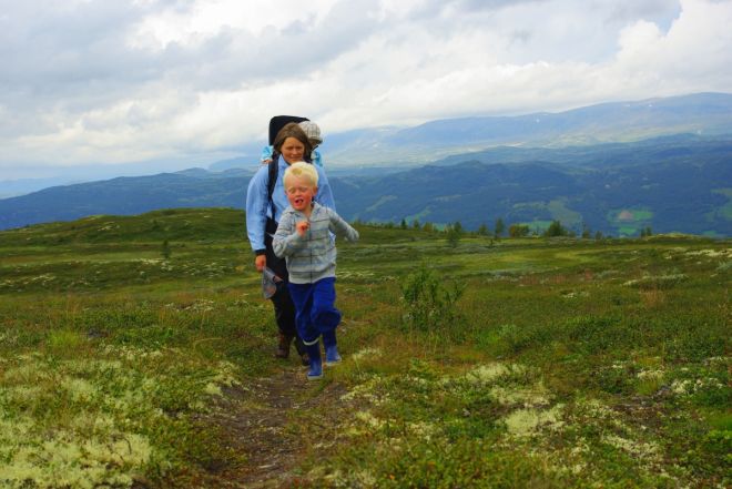
Roundtrip from Mykingstølen 1030 masl. With side trip to Skurvehovda 1122 masl. Parts of the trail follow an old cart road. The terrain is a little hilly, easy to walk and well suited for families with children. From Skurvehovda you will get a great panoramic view of Vats, Reineskarvet and Hallingskarvet. This trail is also suitable for mountain biking. Starting point/parking: 32 V, Y:467818, X: 6724941 |
|
| Design på norsk: Utforming.no / Publisert med WideCMS | ||