8.6 Sangenuten

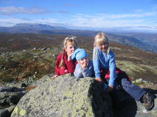
Nice and varied hike in high mountain terrain. First a walk along the road, then on a marked trial. The terrain is somewhat hilly towards the top. The large tower on Sangenuten makes it easy to find your way to the top. At the top you will have a fantastic view. There are several trails in the area.
GPS-coordinates:
Starting point/parking: 32 V, Y:470688, X: 6712747
Location post box: 32 V, Y: 468470, X: 6712635
Read more
|