2.3 Lauvdalsbrea

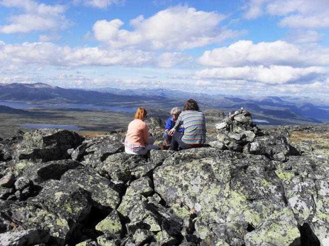
This hike will give you a panoramic view of the Hallingdal Mountains. Follow the trail to the first plateau, where the path partially disappears, but it is still easy to find directions. Partially steep and stony trail; follow the cairns to the top.
GPS-coordinates:
Starting point/parking: 32 V, Y:464678, X: 6737614
Location post box: 32 V, Y: 466786, X: 6737122
Read more
|