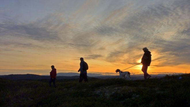
7.2 Dyna at Veståsen

A popular and slightly demanding roundtrip on good trails and mountain roads. From Bosset you follow the trail past Restjørnane towards Dyna (1212 masl.), where you have great view. From the highest point you walk further on down the clearly marked trail to Steinstølen where you will meet the mountain road that goes past the crossroad to Fjellheim. From Fjellheim you follow the trail to Bosset. You can do the hike in both directions.
GPS-coordinates:
Starting point/parking: 32 V, Y:482148, X: 6717506
Location post box: 32 V, Y: 483735, X: 6714931
Read more

|

